
The latest track shows Debby moving inland over North Central Florida by Monday and emerging over the Atlantic by Saturday morning.
Continued weakening is expected now that the ocean upwelling and dry air are interacting. Tropical Storm warnings are in effect for the areas from Destin to Englewood, Fl.
The strongest winds and heaviest rain are located away from the center.
Waves of heavy rain will make their way onto the state periodically since the storm is moving so slowly.
The strongest winds and heaviest rain are located away from the center.
Waves of heavy rain will make their way onto the state periodically since the storm is moving so slowly.
.JPG) |
| This is an image from Monday June 25 at 2:37 PM EDT |
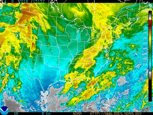 |
| This is a URL image so it will change as it is updated on the website. |
No comments:
Post a Comment